Green River Fishing Spot
3 Rating based on
1 Reviews
- Elevation: 887'
- Last Modified By: vinny60 on 09/09/09 07:13 PM
- Ask about Green River in our Fishing Forums
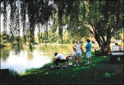
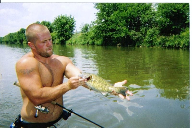
Photos
Fish Species
Green River Description
The Green River is a tributary of the Rock River in northwestern Illinois in the United States. Via the Rock, it is part of the Mississippi River watershed. Much of the Green's course has been straightened and channelized.
The Green rises in northern Lee County and flows initially southwestward through Lee, Whiteside and Bureau Counties, passing the town of Amboy. It turns westward in Bureau County and flows into Henry County, where it roughly parallels the Hennepin Canal and passes the towns of Colona and Green Rock. It joins the Rock River just west of Green Rock, in the Quad Cities metropolitan area.
Green River may refer to: